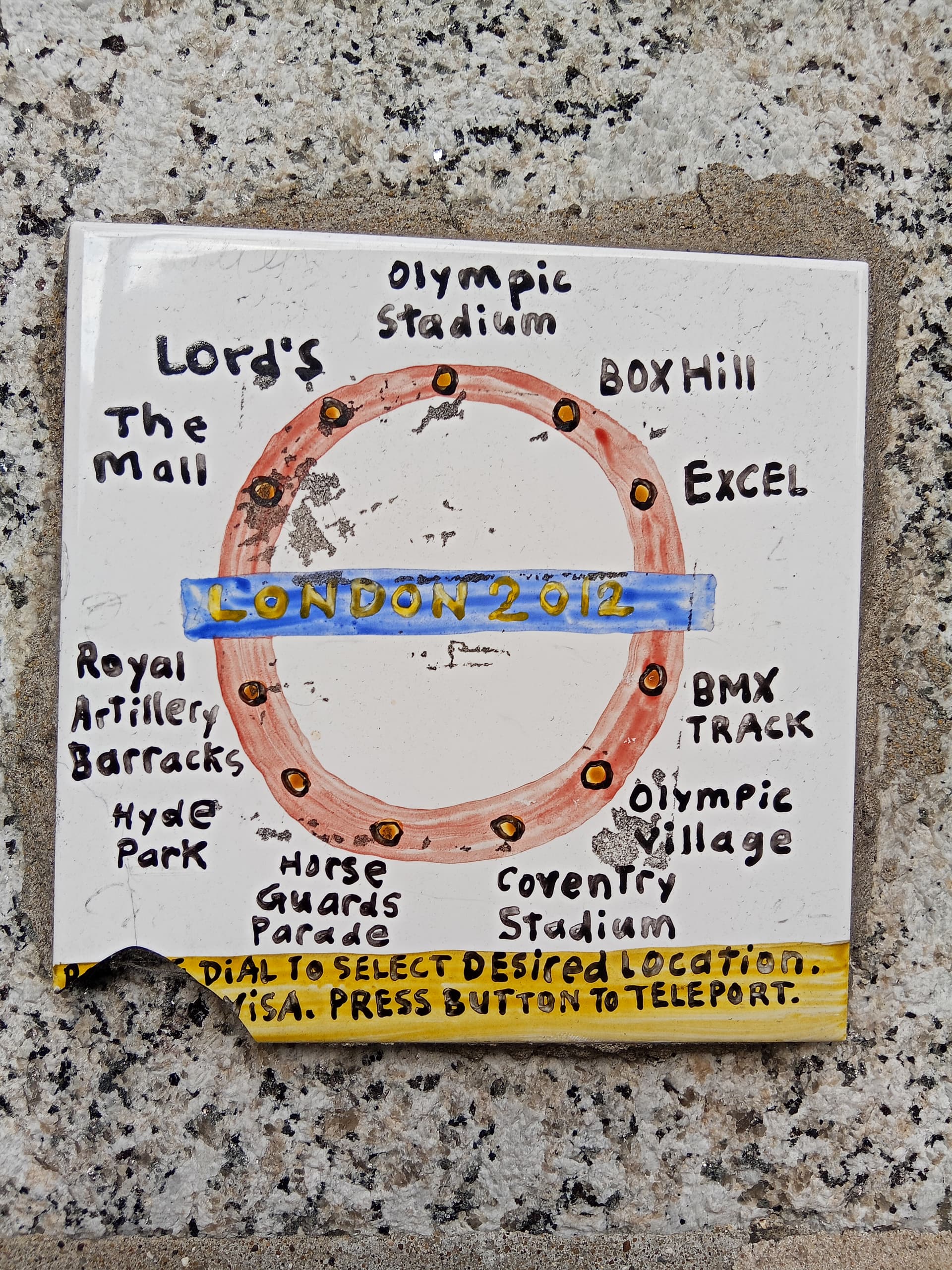
I’m sure this was posted as a “bad map”. I mean, look at the locations.
9 Likes
It is the way if things: Milwaukee has “The Bronze Fonz” and Minneapolis has Mary Richards tossing her hat.
9 Likes
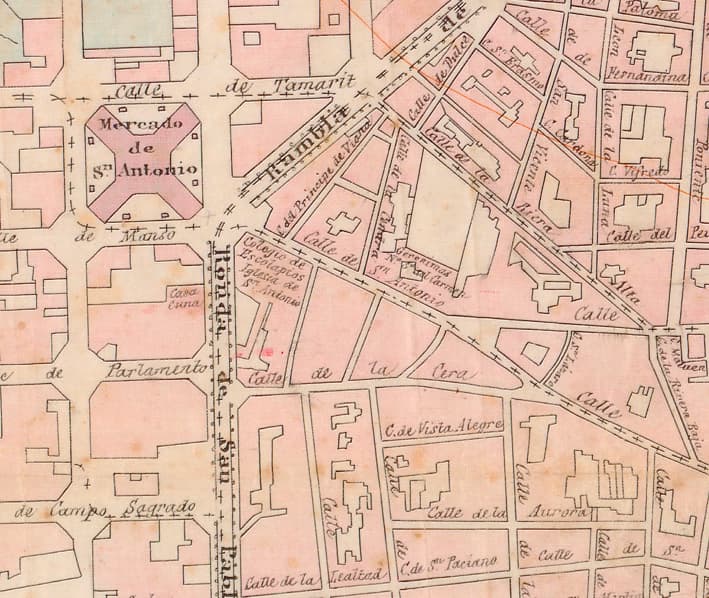
The location of the city walls is clearly visible.
6 Likes
You mean these walls? ![]()
They already torn them down by 1885, but you can still see the streets that replaced them ![]()
BTW: I saw that the upload has a limit on resolution so I will try to put them in my server after work so I can share higher resolution scans ![]()
(excerpt from 100% scale)
13 Likes
I uploaded higher quality images in my server:
https://files.cyberterm.net/bbs_maps/
I’ve also added a map made only 6 years later, but the political situation of barcelona changed radically. In the original map Barcelona is only the old cuarter and the “eixample”. In the new map all the towns surrounding barcelona (sants, Les corts, Sarria, Sant Gervasi, Gracia, etc.) are in the map. Six years later, Barcelona would absorb these towns as neigborhoods. Also in the 1885 map, Poble Nou i la Llacuna are “farm fields” (more like inundated rice fields like the ones in Valencia). In the 1891 map, all that is dried (probably not really, 1891 map is more aspirational than real, I think). That area would become the first industrial center of Barcelona (later would be the Zona Franca).
Also the new map has the first reference to…
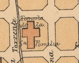
The Sagrada familia temple. I think Gaudí didn’t even got the change to start drafting the plans, but someone already decided it was going to be built there. As this was part of Sant Martí de Provençals, it doesn’t appear in the old map.
13 Likes
London turned many of its rivers - including the Fleet (as in Fleet Street) - and riverlets into sewers. That makes me sad, too.
11 Likes
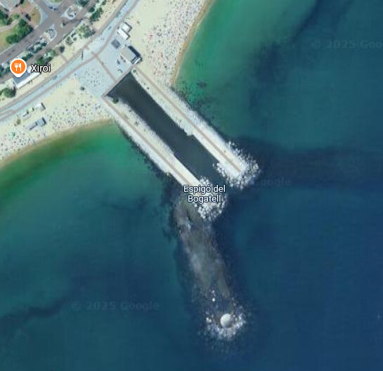
You could say we did the same, but they are not exactly sewers, they are underground rivers. You can see the exit of the Bogatell (which most creeks and the very crucial for industrial development Rec Comtal go into) in the satellite views, for example:
13 Likes
Espigo reminds me of the English word spigot - a faucet; a sink or bathtub tap. ![]()
![]()
10 Likes
The great thing about concentrating in one’s city (at least one like barcelona, that has 2000 years of slow but constant expansion) is that you can do your own field research. For example, collate the maps with the cadastral public records to follow old roads or waterways, then go and see if there are remnants (ie: buildings that have weird add-ons, or odd shapes, because roads or creeks used to pass through), high-stepped doors, a headstone recicled as a building stone, an inconspicuous fountain just above where the creek passes, etc…
Remapping the city before all those parts get eaten by modern construction.
11 Likes
not surprising, given they come from the same word: Spica, which was a wooden dowel used to cap a cask, named that way because it resembled a spike.
11 Likes
…like Eugene Atget’s traversing Old Paris, photographing her surviving medieval and other old sections, before they were torn down and the city began rebuilding all over the place.
8 Likes

12 Likes
9 Likes
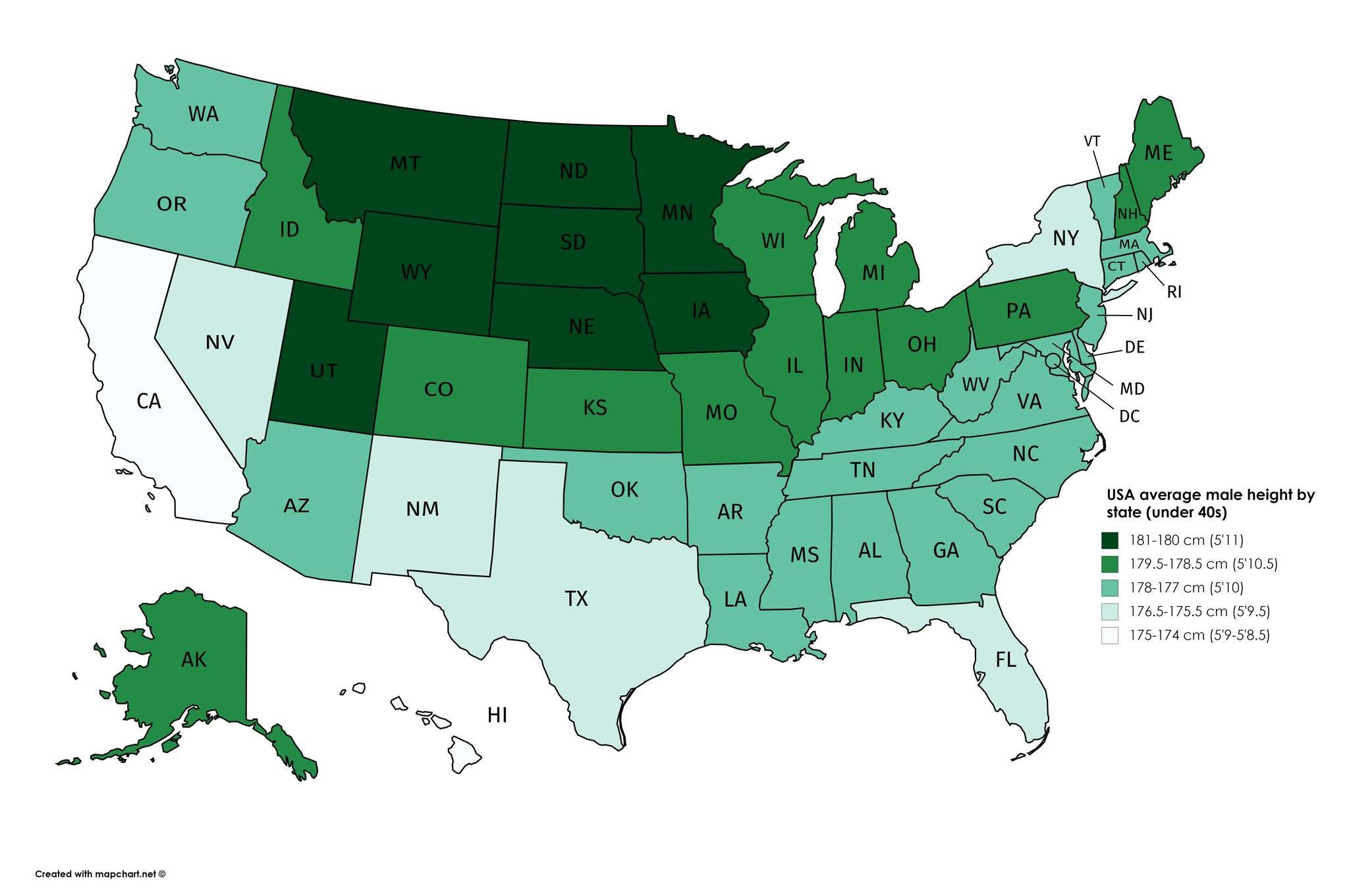
This is super interesting. I’d guess that this is largely an image of immigration patterns more than anything else.
12 Likes
Maybe nutrition. ![]()
Either way; we can retire the Tall Texan phrase.
14 Likes
I bet nutrition absolutely plays a part.
12 Likes
take the stupid hats off and ditch the 3inch heel Lucchese boots, and big tex is just an average dude.
i once was a tall guy from texass, but i’m short a foot nowadays.
16 Likes