Thanks! This is a nice site.
11 Likes
19 Likes
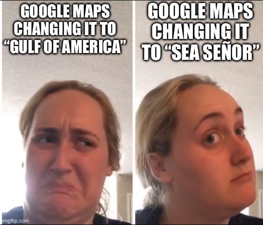
Wait, what?
15 Likes

13 Likes
26 Likes
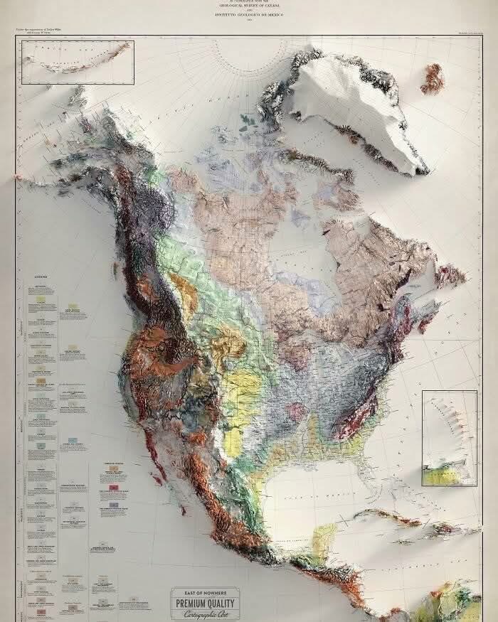
Wow… that’s beautiful…
14 Likes

21 Likes
Is that actually raised (molded) or is it just printed to look that way? It’s very cool either way
12 Likes
I don’t know.
8 Likes
I’ve been using Jeff’s maps of Algonquin Park ![]() for a long time, at least 20 years. (I have no other connection than as a happy customer.) He continues to update and maintain them. This is what a mapping project looks like when it’s done by someone who really cares about the area and loves traveling in it. Sometimes in the dead of winter I just stare at them and imagine a trip.
for a long time, at least 20 years. (I have no other connection than as a happy customer.) He continues to update and maintain them. This is what a mapping project looks like when it’s done by someone who really cares about the area and loves traveling in it. Sometimes in the dead of winter I just stare at them and imagine a trip.
14 Likes
When I was a child, my family had full-color, plastic vacuum-formed maps of the United States and Wisconsin.
Kind of cheesy, but very educational for a child when at that age where you want to touch everything.
In fact, doing a little research, I think this is the company:
13 Likes

7 Likes
My elementary school library had those for the US and Virginia. That probably kick started my love of maps.
14 Likes
danskjavlarna

Source details and larger version.
Strange maps and even stranger maps are collected here.
13 Likes
Cool site, thanks for posting. Why does he date his posts, 2028?
Restoring the Lost Sense – December 29, 2028
5 Likes
My posts go into the future … pre-blogged, not officially “live” but accessible in their past (our present) to those with the links. Not sure if that makes sense, but that’s what’s happening and the reason for future timestamps.
10 Likes
Let us hope that December 2028 is a more positive time for humanity.
Say “hi” to John Titor for me.
9 Likes