That map’s now out of date- Minnesota should be red, since the flag upgrade last year
12 Likes
Virginia and New York should get extra credit for showing individual “piggies”, rather than amorphous blobs like Florida’s.
10 Likes
I don’t think this is true. The poles are like 20km closer to the center of the earth than the equator.
EDIT: Found this clarification on WP:
The Indian Ocean area is the “point on the ocean surface farthest below sea level… the Indian Ocean Geoid Low, about 106 m (348 ft) below the global mean sea level.”
This WP article is really interesting from a map-nerd perspective
10 Likes
Utah also has a new flag, sans toes.
9 Likes
because they got rid of the eagle?
do bees have toes?
12 Likes
They have knees,if the saying is to be believed, and extraordinarily good ones, at that.
13 Likes

8 Likes
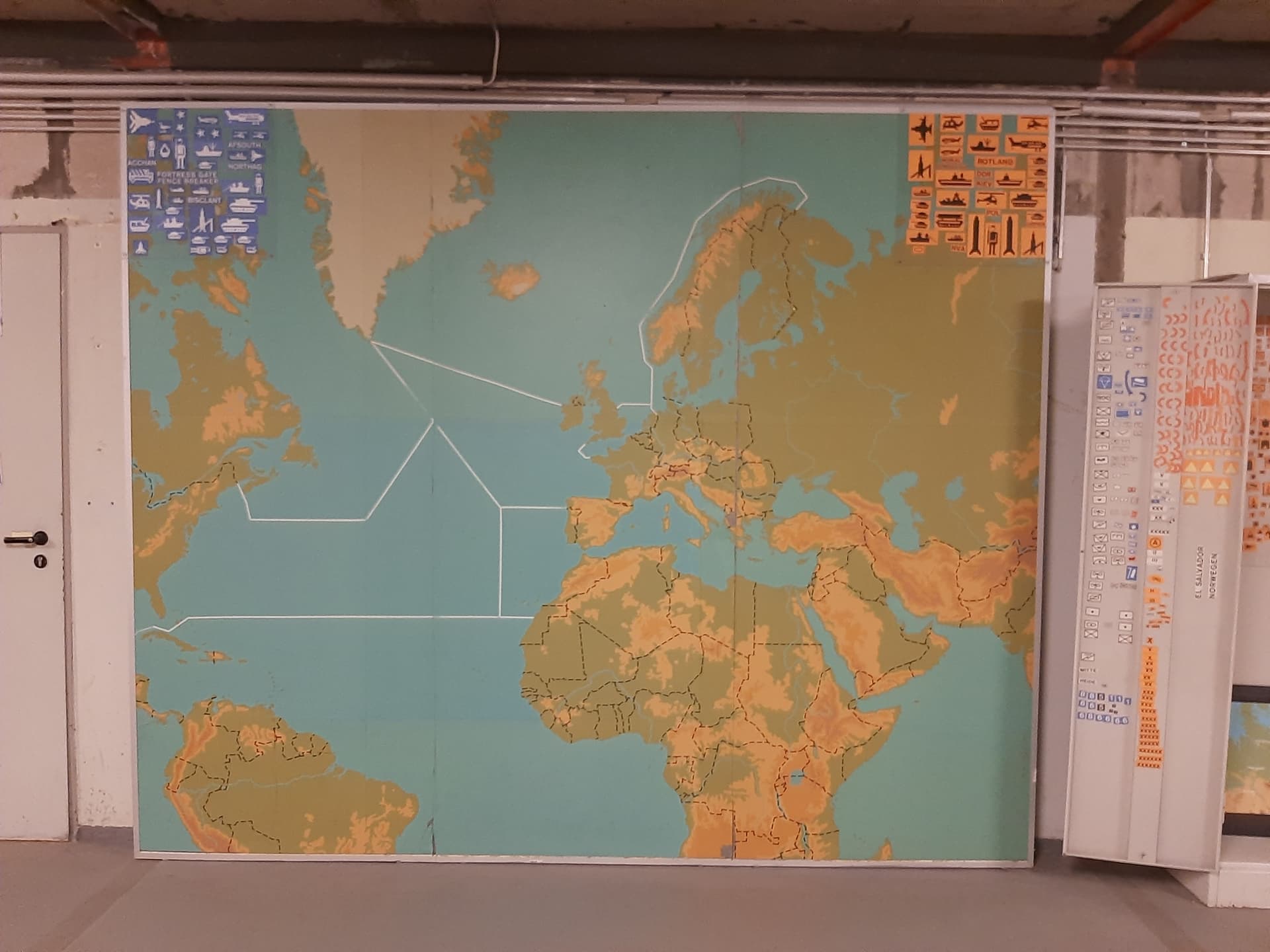
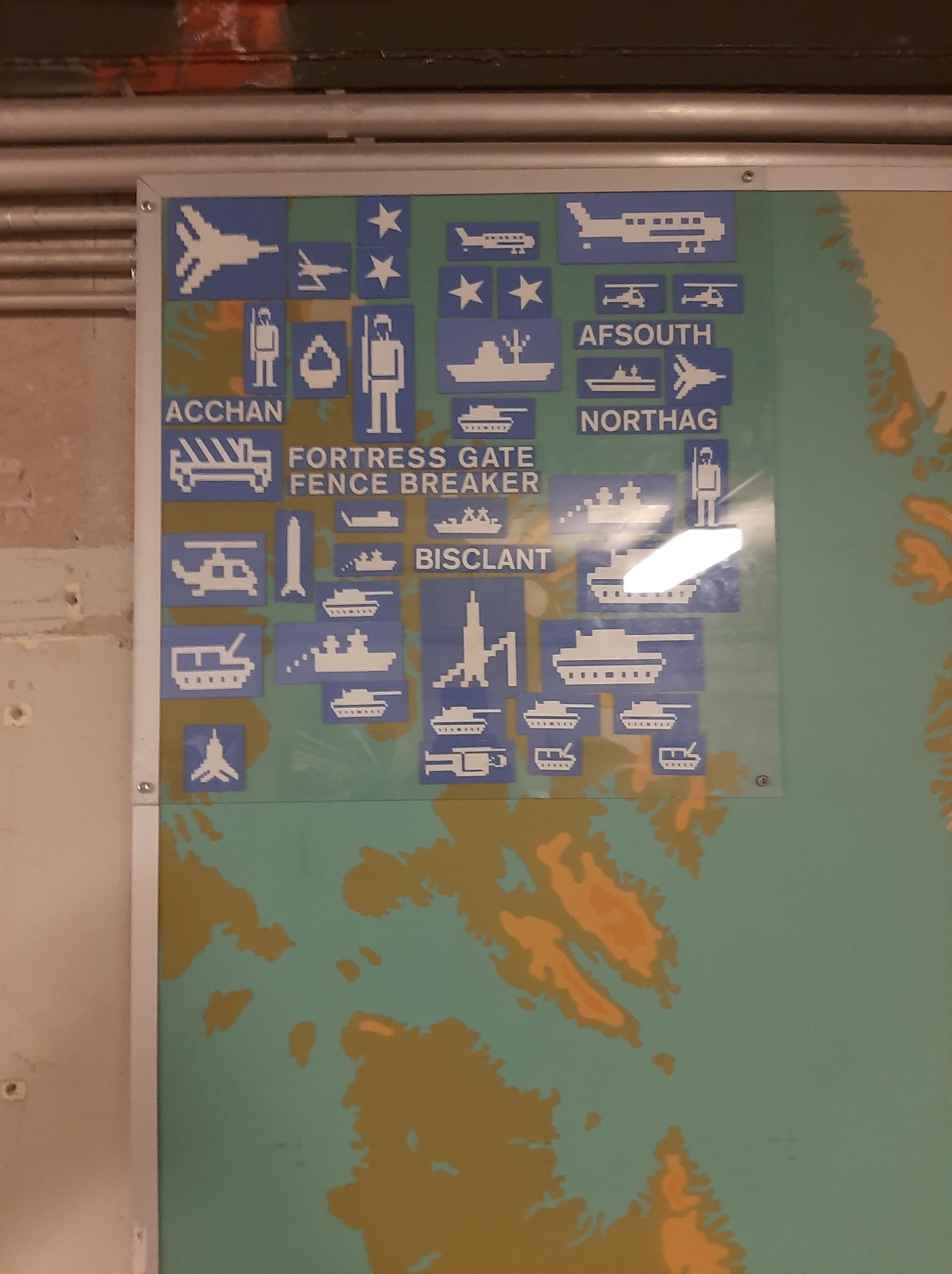
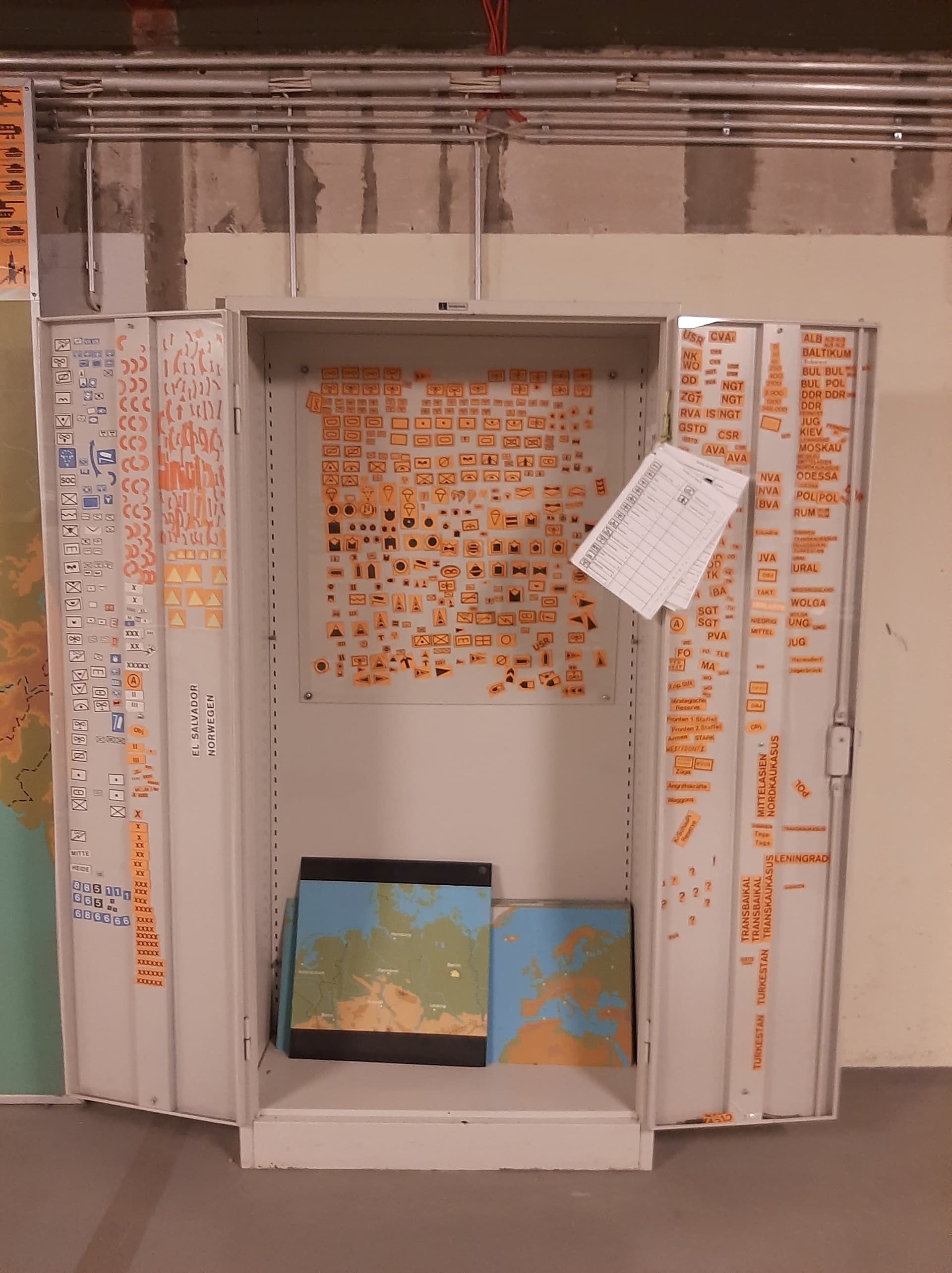
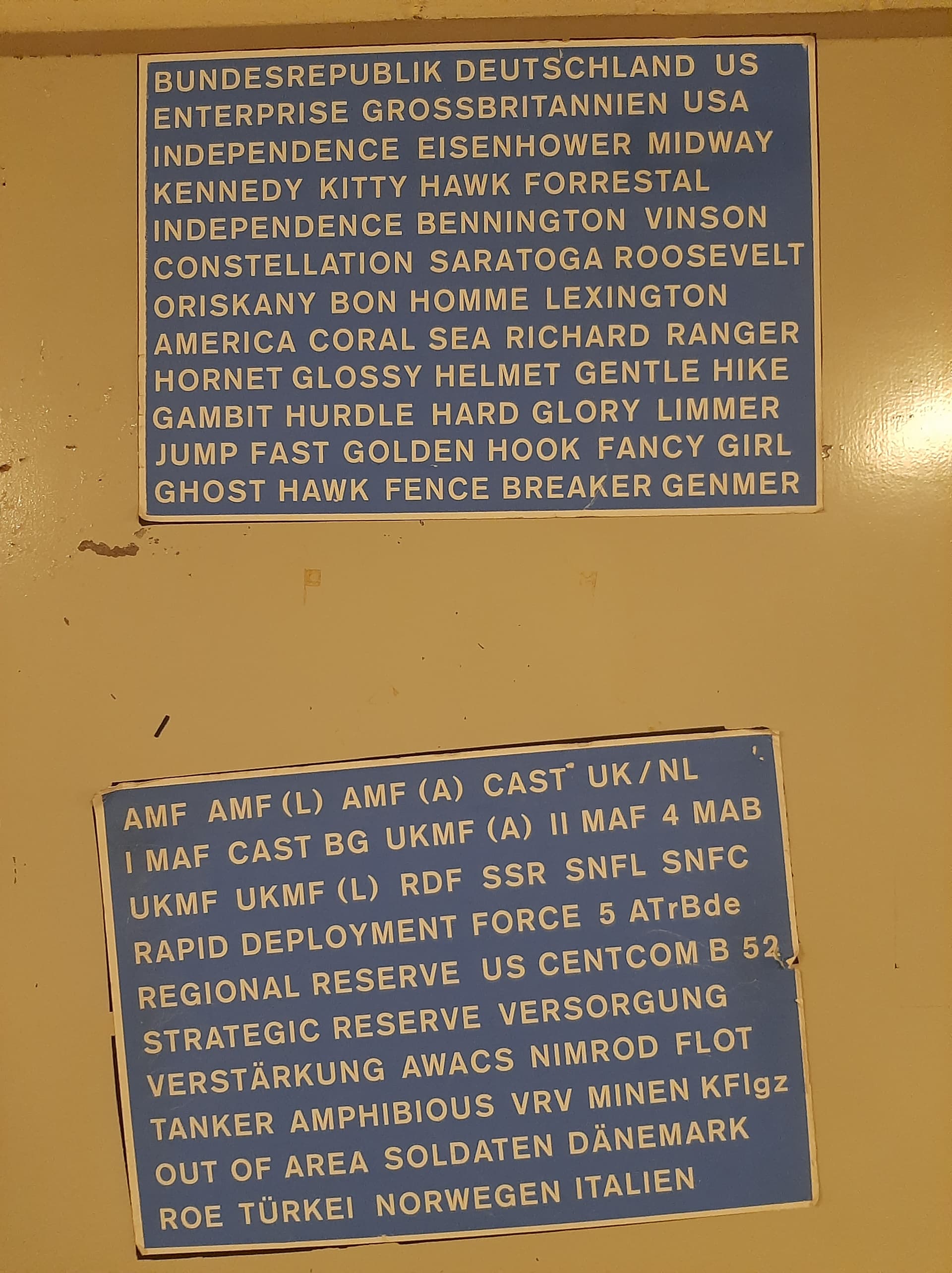
I think FM 101-5-1 (or current equivalent) is available online.
Never mix up your FLOT and your FEBA!
5 Likes
I know. It’s showing Wyoming as part of Pennsylvania, when it was clearly part of Connecticutt.
7 Likes
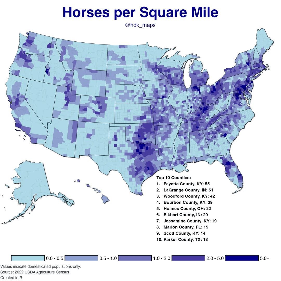
Happy to see that very dark blue where our riding school lives!
11 Likes
not surprised to see Marion County, Florida in the top ten. Ocala is big time horse people!
11 Likes
12 Likes
The ice here is 4,757 m thick, or more than 15 times the height of the Shard, the UK’s tallest skyscraper.
#fuckYouMetricSystem
11 Likes


15 Likes
Reform UK will be after them for that nonsense. The official measurement in the UK is 516 double decker buses.
10 Likes
A LIDAR-assisted map of lone (Trees Outside Woodland) trees in England.
Seems clunky but that could be because it went live today.
9 Likes

8 Likes