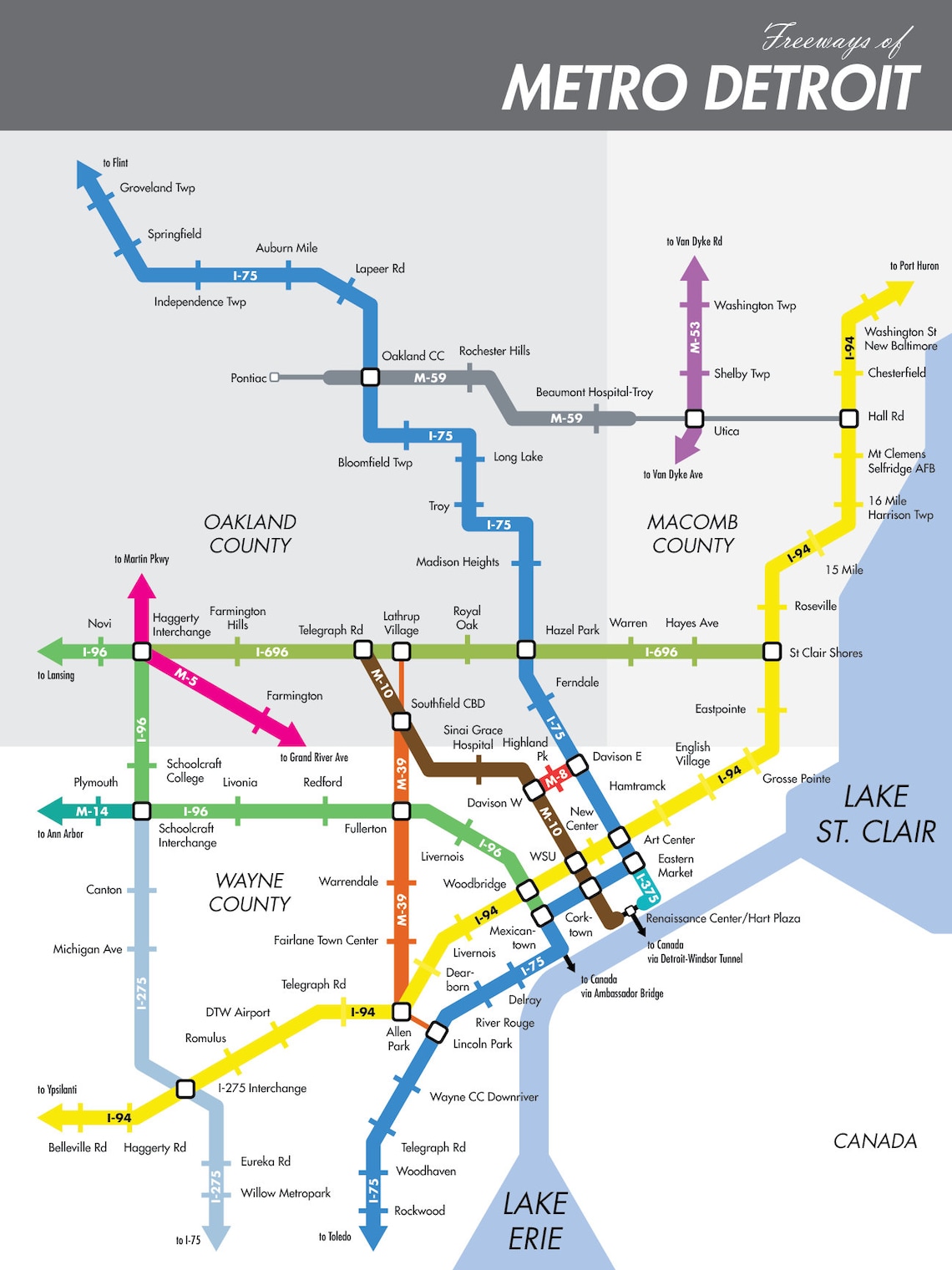
A bus driver who lived in the area all his life explained to me that the bizarro design (left exits, dangerous merges, roads to nowhere, etc.) was due to the city planning including highway design happening before the post-WW2 federal highway standardization occurred. Since there was literally nowhere to build and tearing everything down didn’t make any sense, they had to make do with what was there.
I don’t know how true any of this is, but it wouldn’t surprise me.
My BF from el lay laughed and laughed when he first experienced Detroit’s evening rush hour.
Knowing it’s way worse out there did not help mom’s mood while dealing with the then-current traffic. She did have the grace to chuckle a little at first.
He found our Downtown smol yet utterly bewildering
It is indeed bewildering. The one way streets are seemingly random. At least one of them is one way the other way on the other side of a cross street - and the cross street is also one way!
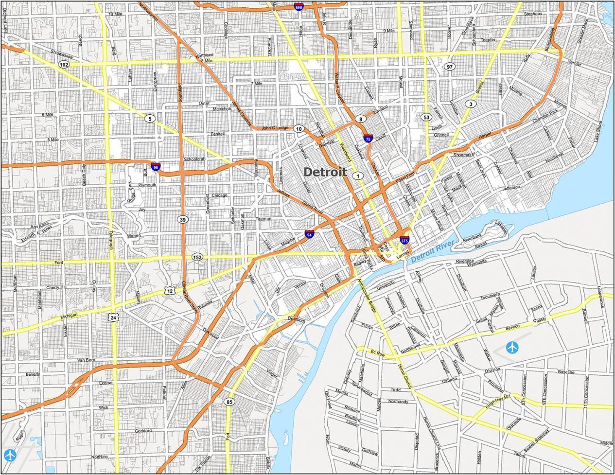
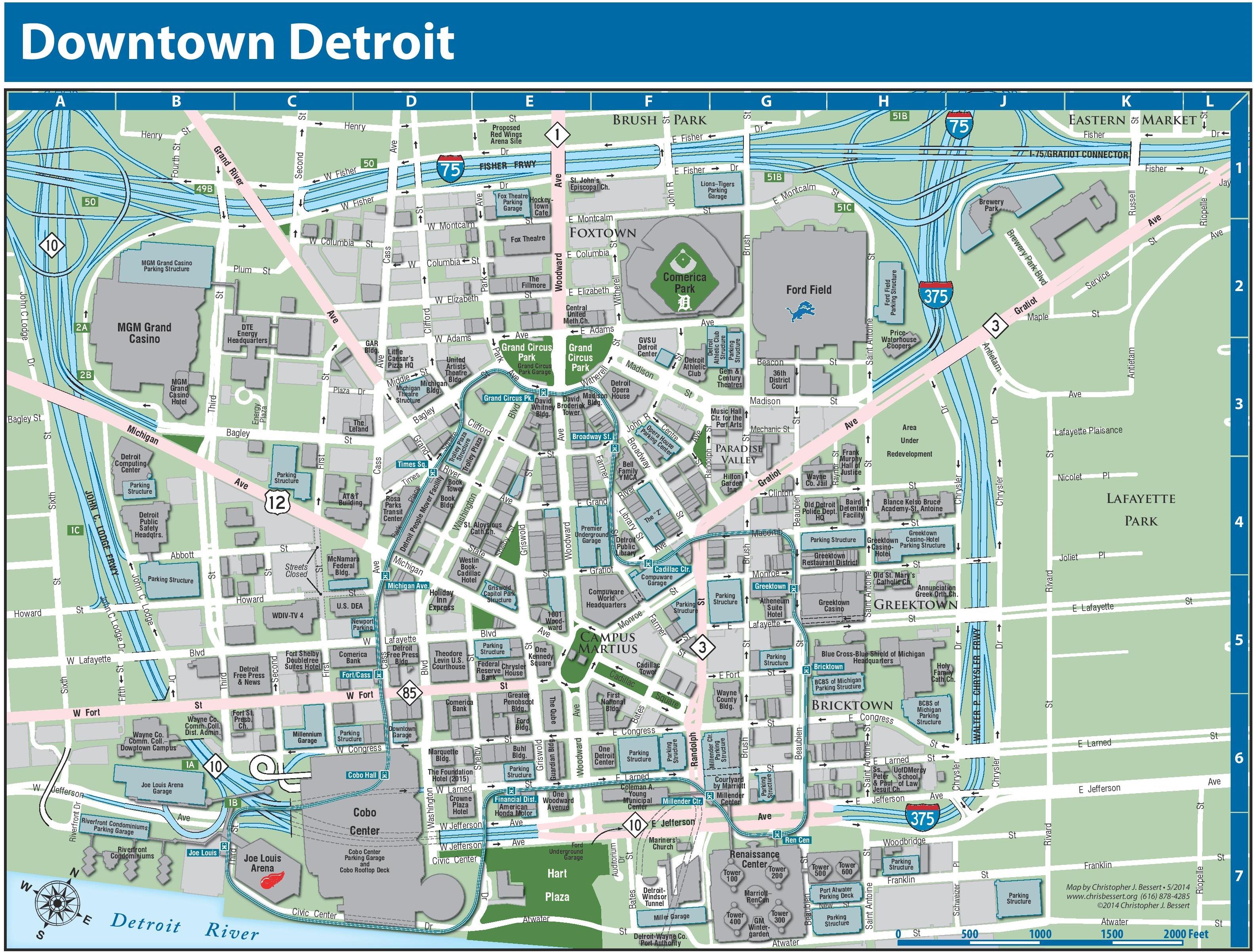
I spent enough time Downtown in my 20s and 30s that I didn’t get lost anymore. Whenever I rode with friends or family, I’d get them wherever they wanted to go, unless they ignored me. I’d end up saving the day, and silently vow to never again be their passenger.
I haven’t been down there in ages, and a lotta changes have been made. I have no idea whether I still have my skills.
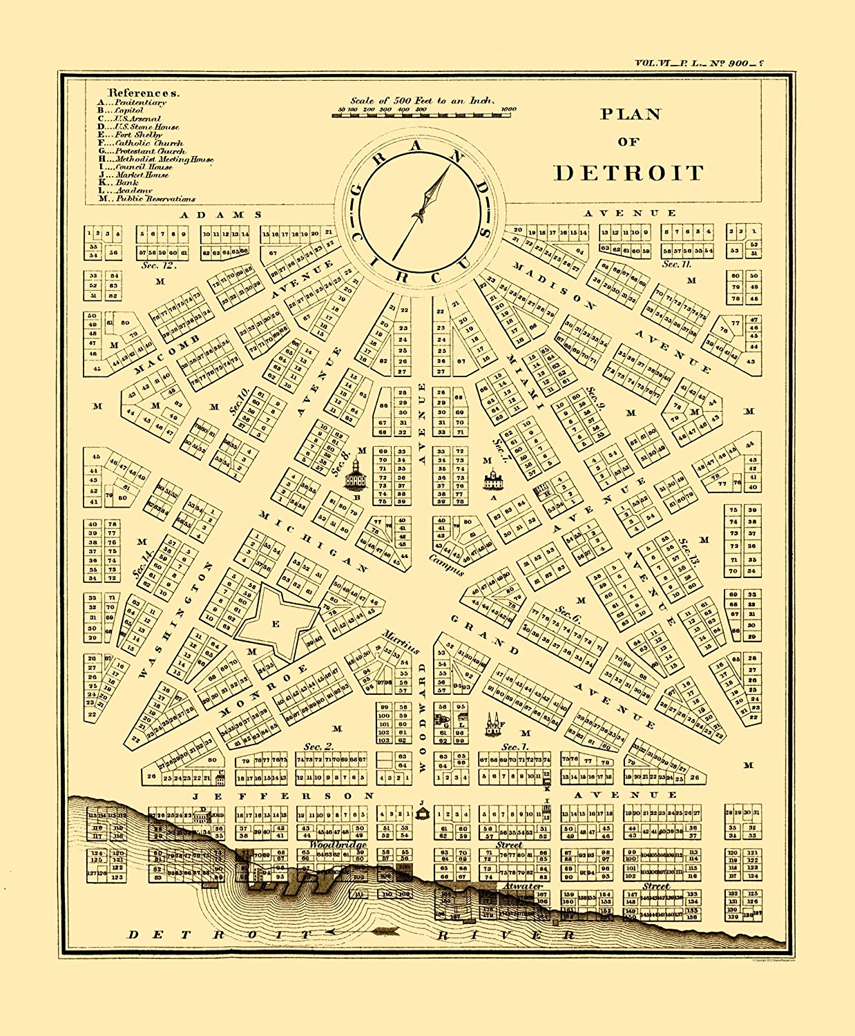
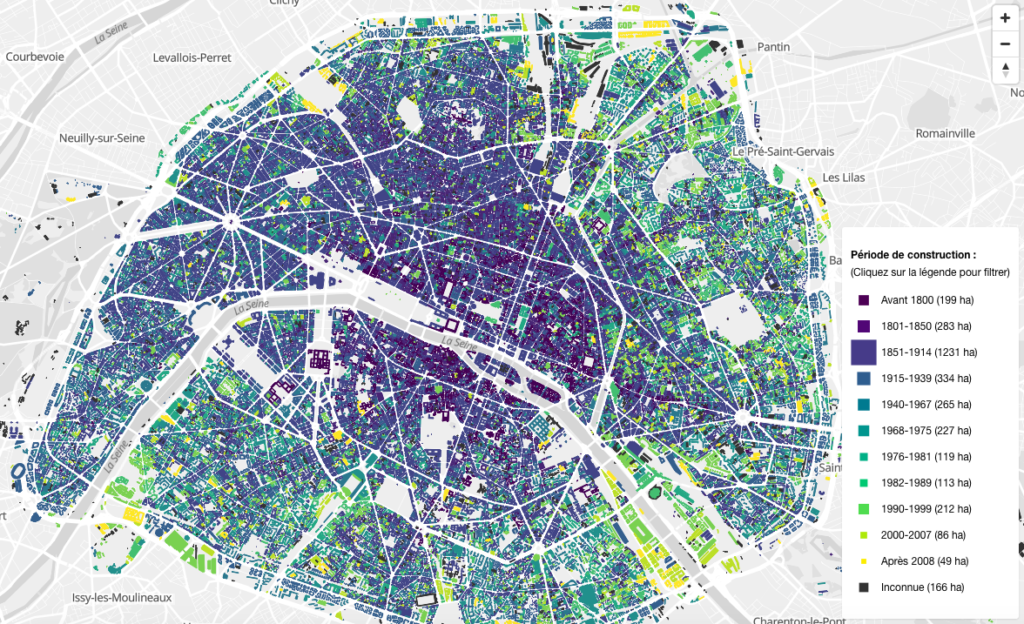
Downtown has changed a great deal since Mr Woodward drew that map in 1807, not long after the conflagration
Streets’ courses have been changed, as have many of their names.
They’re missing maultaschen in Swabia, Germany and ravioles du Dauphiné in the Dauphiné, France. They both fail the pleated seal test mentioned in the text, but so do ravioli, which are on the map.
They’re more related to pies and flatbreads than dumplings, afaict. It’s a bit of a clearer relationship with Cornish pasties (folded pie) and calzone (folded flatbread).
There are a couple of new ones on the vimeo channel, but I think most are from the youtube channel. They do have a patreon too, which has been updated recently.
I can’t help thinking that the development of things adjacent to eating like cutlery and napkins are factors that need to be considered in this context. There often are interdependencies that aren’t obvious at first,1) but turn out to be the key to finally explain something satisfactorily.
If you don’t have proper cutlery or napkins and don’t want hot, greasy fingers, folding food is a good solution for this problem.
1) I mean, just look at the effects lemon-soaked paper napkins have on commercial space travel.