hecep
December 12, 2024, 3:44am
85
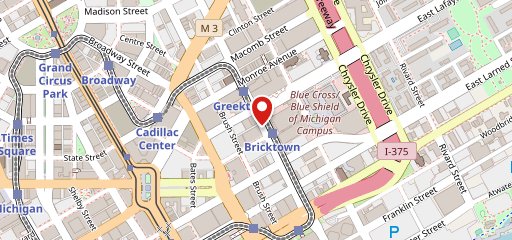
I question the accuracy of everything regarding that map. The fla-shop site (lower right-hand corner of map) basically gives users the tool to create their own interactive maps. I’m guessing someone biased toward the Midwest was expressing their own opinion.
FD: Just the sight of a deep-dish pizza makes me nauseous.
8 Likes
RAvery
December 12, 2024, 4:31am
87
It’s like a pizza, but 4-dimensional.
6 Likes
I really like you, but you just got wrong, Sunshine.
10 Likes
timd
December 12, 2024, 10:17am
90
To get off the pizza topic and onto safer ground /S
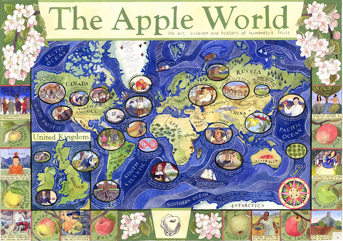
Interactive and zoomable version .The Apple World Map by Helen Cann commissioned by and licensed to the Museum of Cider, Brightspace Foundation and National Trust Copyright © Helen Cann 2020
13 Likes
RAvery
December 12, 2024, 11:14am
91
This could start a whole new argument. For “The First Apple Computer” they are showing a Macintosh. And it’s pointing to Washington, D. C.
9 Likes
Heikki
December 12, 2024, 11:26am
92
21 Likes
MrShiv
December 12, 2024, 2:52pm
93
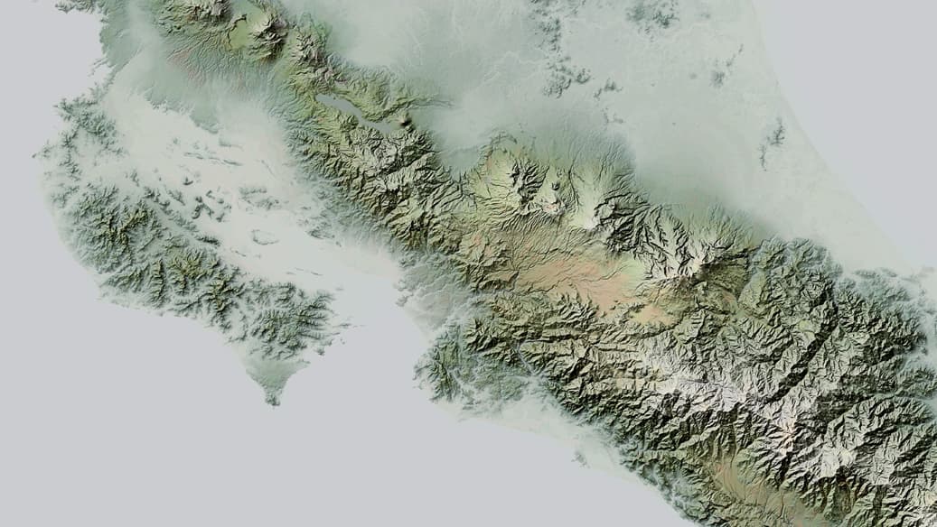
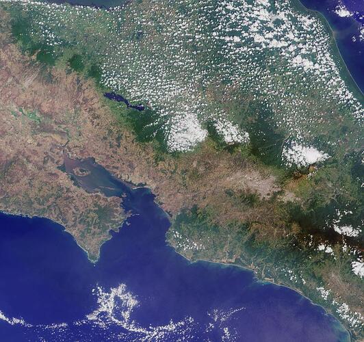
Costa Rica elevation, no labels
18 Likes
Why does everyone look flooded though?
7 Likes
MrShiv
December 12, 2024, 4:23pm
96
Because you’re seeing the white and near-white areas as water?
7 Likes
Oh, I see. In my defense the white is water since it doesn’t seem to show ocean depth, and for Guanacaste I had trouble telling them apart. Mostly it’s too early though.
9 Likes
MrShiv
December 12, 2024, 4:37pm
98
Understandable. I edited it to say “elevation”. My choice of color ramp was for aesthetics. I prefer to look at it as clouds and fog.
7 Likes
hecep
December 12, 2024, 5:50pm
100
I’d consider the positive side: More for you.
8 Likes
I like how The Simpsons isn’t on the map, because it deliberately made itself impossible to be.
9 Likes
MarjaE
December 15, 2024, 5:35am
103
8 Likes
Just saw this:
Slider along the bottom to “time travel” and links straight to Wikipedia articles about the different empires.
14 Likes

