Nice!
Bit fiddly on a tablet, must try later on something with a mouse.
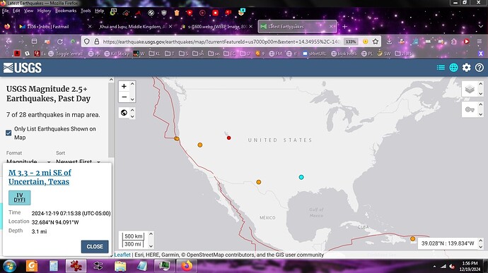
TIL
There is an Uncertain, Texas.
Bonus:

Pink Flag at Map Ref 41 N 93 W, give or take 150 feet.
Pink Flag at Map Ref 41° N 93° W | J. ERIC SMITH
Wire have been one of my favorite bands since around 1980, and their latest album, Change Becomes Us, has been earning heavy spins on household and car stereos hereabouts since its issue last month. It’s one of their finest discs ever, hands down. For longtime Wire fans, this one has been a particular treat, since it returns to song sketches crafted in the aftermath of their 1979 masterpiece, 154, but only issued in fragmentary or raw form on the live Document and Eyewitness, released when the quartet dissolved for the first time as the ’80s dawned.
With a new Wire album out, I loaded up a bunch of their older tracks — including their remarkable 154-era single “Map Ref. 41° N 93° W” — onto the car iPod when Marcia and I drove down to Asheville, North Carolina last month to visit family. “Map Ref” came on somewhere in Tennessee, and Marcia looked at the title on the dashboard display and asked “Is that a real place, and have you looked to see where it is?” As a hardcore map geek, and a 30+ year Wire fan, I was embarrassed to admit that I had not, so I asked her to use her Smart Phone to look it up and see where it was.
Imagine our surprise when Marcia discovered that the point described by those latitude and longitude coordinates was about 100 miles from our home in Des Moines, down near Centerville, Iowa! When we got back here after our holiday, I did a little research and discovered why lyricist Graham Lewis had picked that point: here’s the story.
For those who know me or have been reading my writing for more than the past ten minutes, it should come as no surprise that I immediately resolved to visit this location, since that’s how I roll. A little Google Earth research showed me that it’s actually a bit to the northwest of Centerville, on the opposite side of Lake Rathbun, where Marcia and I had vacationed for a weekend last summer. …
ETA for more fun:

Map Ref 41 N 93 W as Graham Lewis might have first seen it
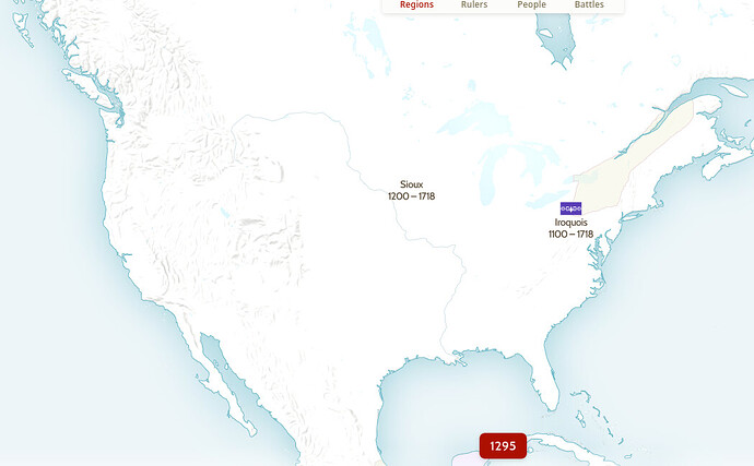
Only two groups of Native Americans in the continental US?!
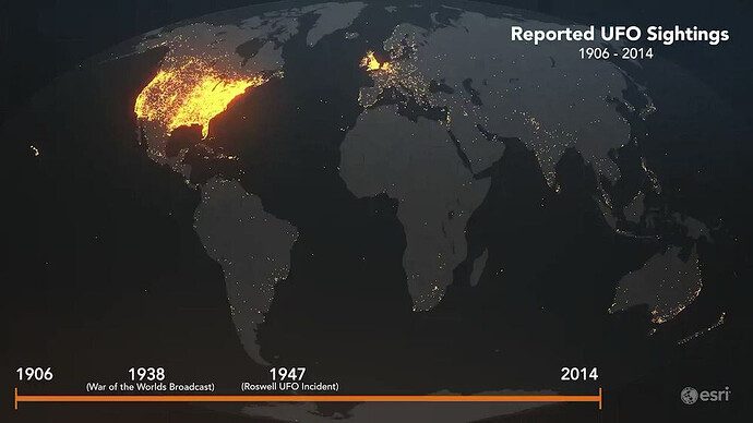
I’ve said before, “How GD horrifying and disappointing would it be if we met space aliens, and they were racist?”
One friend asked, “You mean racist against us?” and chuckled.
I replied, “Well, that too, but I meant if they were racist toward their own people.”
He rolled his eyes, and said, “Awww, maaaan!”
I don’t know that you would call it racism as such, but with aliens it could happen that what racists pretend is true might actually be true – that different populations would have fundamentally different abilities than others. Like if some population of australopithecines or Homo habilis had survived somewhere, I trust they should have some moral standing but they genuinely wouldn’t be just as good at things as everyone else. It’s because humans expanded quickly from a small population that we are all one biological “race”, with only minor cosmetic variations people call “races” from region to region.
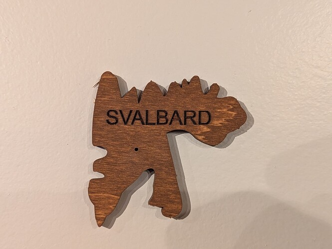
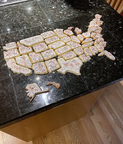
I’m on a diet so pass me Rhode Island please.
I’m not on any social media, but I hear that Bluesky is much better and a lot less nazi!
Also, @MrShiv I’m guessing the terrible maps is probably the name of the twitter handle or whatever, not that the cookie map is terrible…
I meant to say, this is fantastic
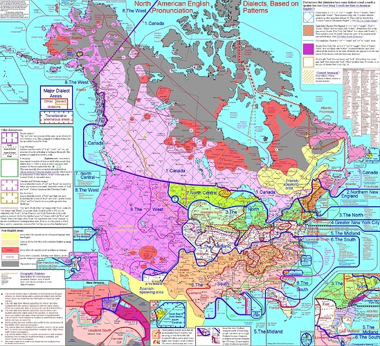
Checking the source page, who has one syllable for tour (/tuwer/ for me), fire (/faijer/), sour (/sauwer/), etc.?
I have a rhotic dialect, but maybe I’ve combined rhotic /r/ with the non-rhotic /e/ or /u/ in some words.
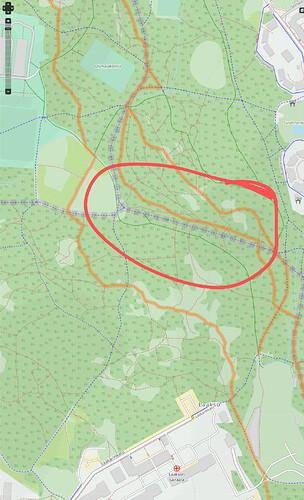
I think that the route they marked here is actually for horses… It has no bikes signs.
https://www.opencyclemap.org/?zoom=18&lat=60.19645&lon=24.91952&layers=B0000
